Structural Investigations of Late Roman Installations on the High Rhine
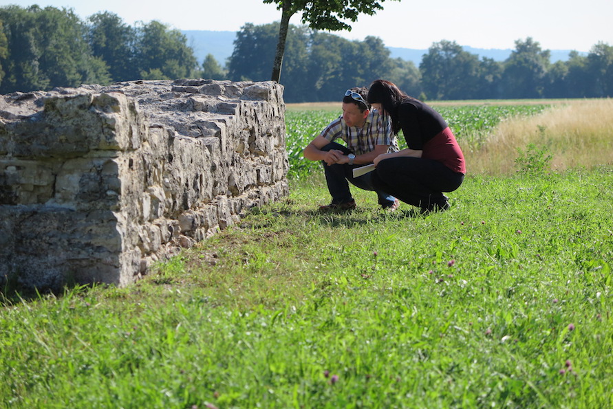
Since 2012, Prof. Dr. Peter-Andrew Schwarz and his team from the University of Basel (Vindonissa Professorship) have been working in collaboration with the Cantonal Archaeology of Aargau and the Cantonal Archaeology of Baselland on the "mise en valeur" of the late Roman watchtowers and fortifications on the High Rhine. The existing documentation is supplemented by the results of modern building investigations as well as the results of prospections. At the same time, the monuments are being restored and brought back into the public eye in cooperation with the site communities.
In collaboration with Prof. Dr. Beat Näf and his team from the University of Zurich, the Vindonissa Professorship has been working on a publication on the late Roman watchtowers and fortifications of the High Rhine Limes since fall 2017.
The site, surrounded (on all sides?) by a ditch, is today about 40 m from the Rhine and lies about 7 m above the present water level. The decisive factor for the location was certainly the bank zone, which made it possible to land without problems, the ford, first mentioned in 1535 and marked on older maps, as well as the fact that the valley of the Wehra, lying on the right side of the Rhine, could be seen.
The first investigations in the ruins, described by F. Keller in 1871, were carried out in 1913 at the instigation of K. Stehlin; the ruins were fully exposed in 1949/50; restoration was completed in 1955; follow-up conservation work was carried out in 1971/1972.
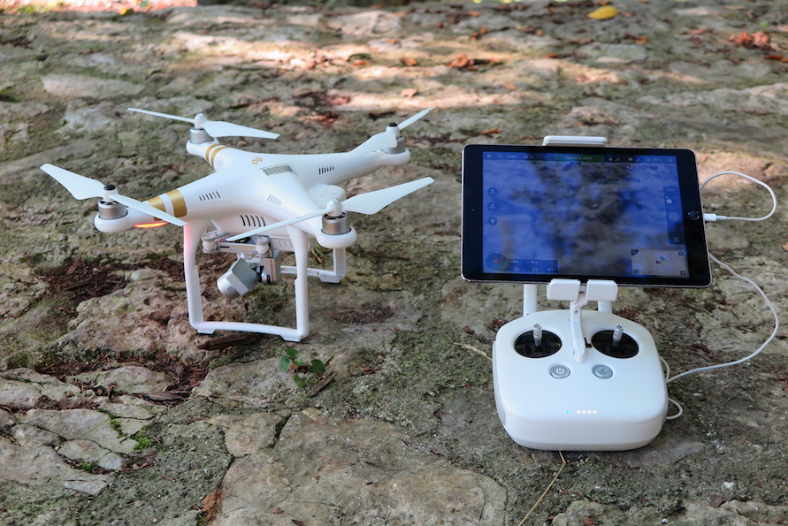
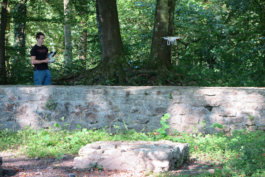
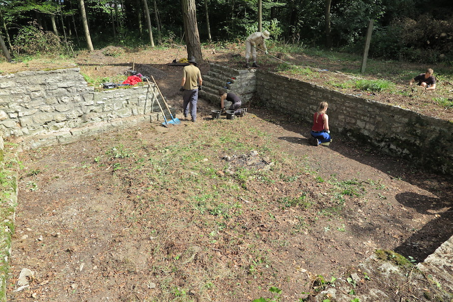
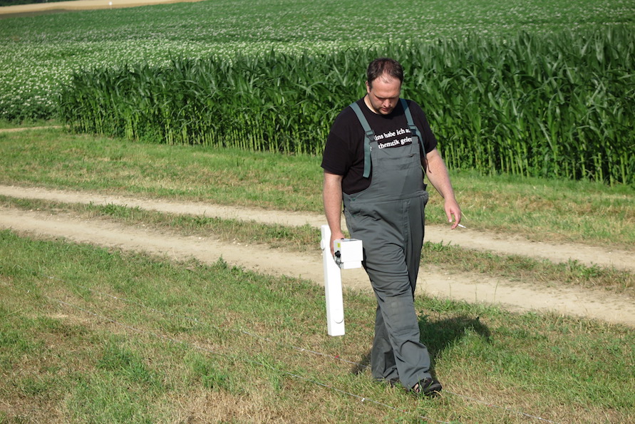
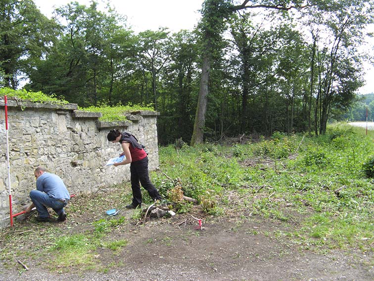
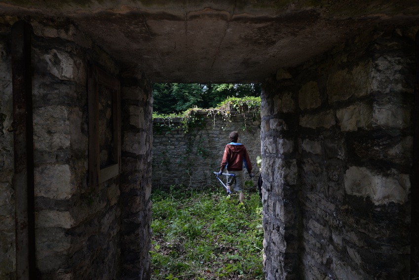
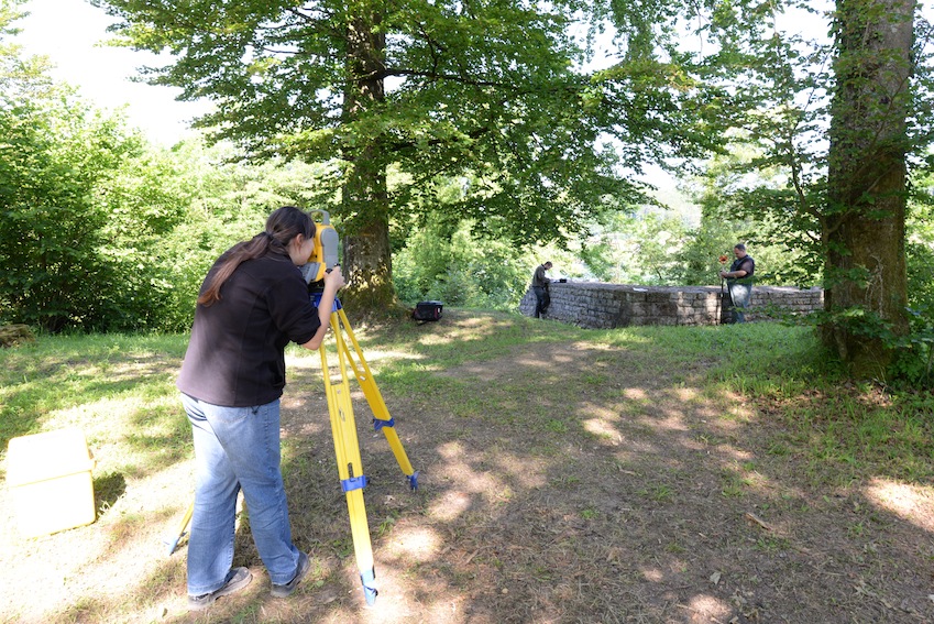
Work begun in 2015 included cleaning the masonry and documenting the structure using photogrammetric methods combined with drawings and 3D modeling. The analysis of the masonry shells revealed that the hand-laid ashlars of limestone used in them show numerous frost blasts. The latter because the joints were sealed with Portland cement at the time and hand ashlars found in the wall rubble were used. Furthermore, it was determined that the damage mainly affects the modern brickwork sections.
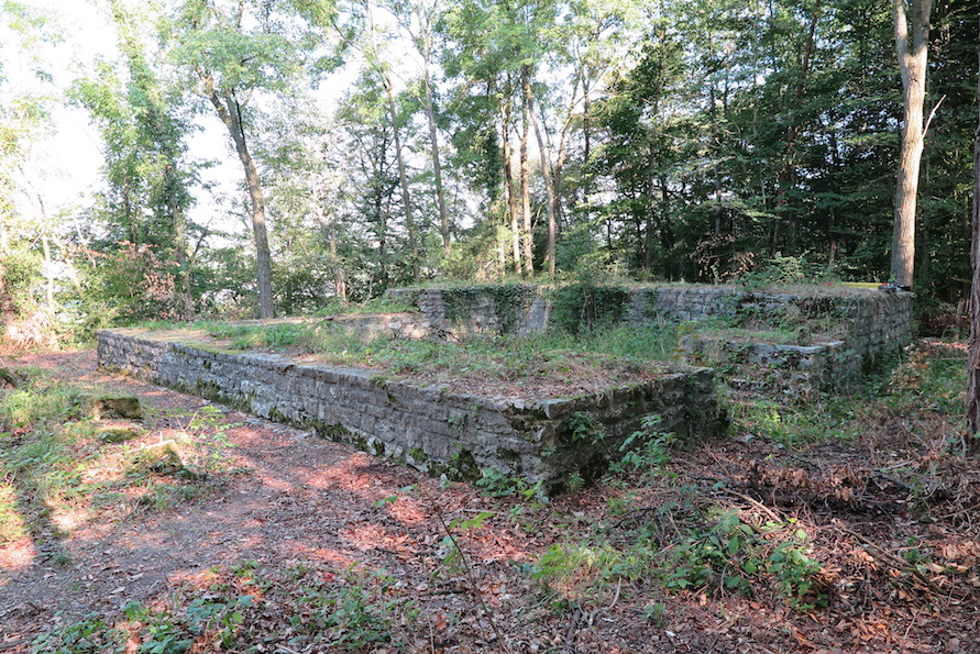
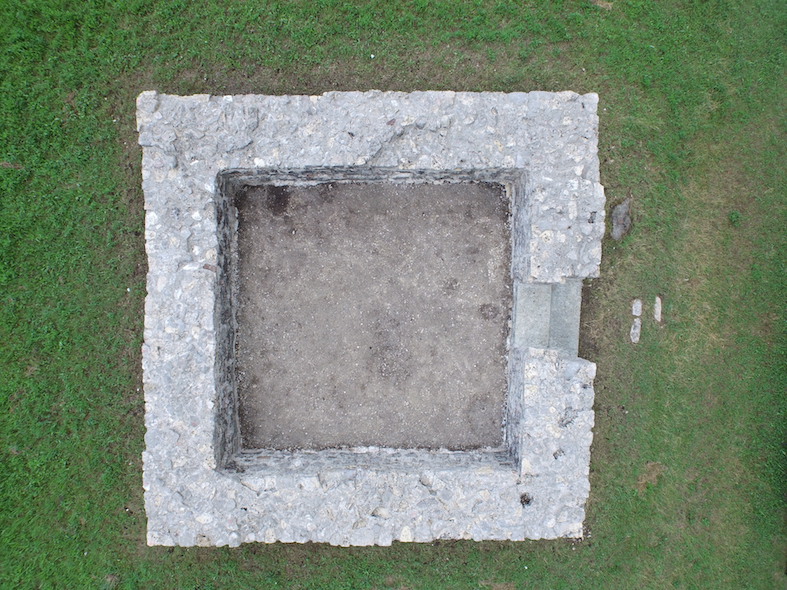
From a building typology point of view, it is probably not a tower, but a massive building, probably at least two stories high, with an inner courtyard (atrium), as they are also known from the Late Antique Danube Limes (e.g. Gunzenhausen, D; Visegrád-Lepence, HU). The dimensions of the wall quadrangle (side length outside 17.50 m; inside between 12.78 m and 13.07 m; wall thickness approx. 2.30 m) as well as various architectural elements, some of which remained on site, speak for the existence of a gallery-like upper floor or an inner courtyard. The entrance, which was partly bricked up during the restoration and partly marked with red sandstone slabs, was located on the Rhine side. Its width can no longer be reconstructed with certainty; however, indications suggest that it was a gateway that was probably passable.
The tower, discovered in 1900 by S. Burkart and partially uncovered two years later, has a rhomboid ground plan and stands on the edge of the approx. 25 m high embankment of the Niederschotterterrasse, which slopes steeply down to the Rhine.
In 1910, K. Stehlin carried out further archaeological investigations, during which the bottom ditch still visible on the north side and a medieval or modern lime kiln installed in it were discovered. Further investigations were carried out in 1938 before the restoration by the Fricktalisch-Badische Vereinigung für Heimatkunde; subsequent conservation in 1974.
Important information was provided by documentation (photographs, wall views, plans) found in the course of our research in the Fricktaler Museum in Rheinfelden. The photographs show, among other things, that the wall crowns were sealed with macadam before the largely intact wear layer consisting of limestone slabs was laid.
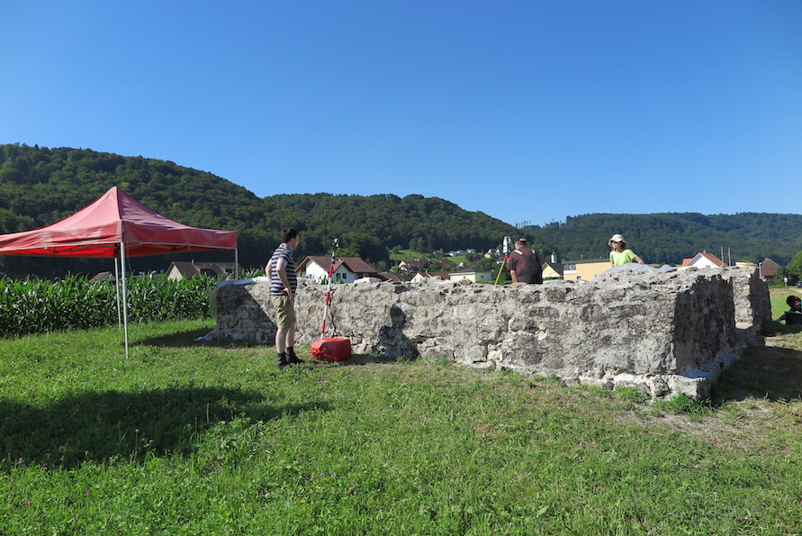
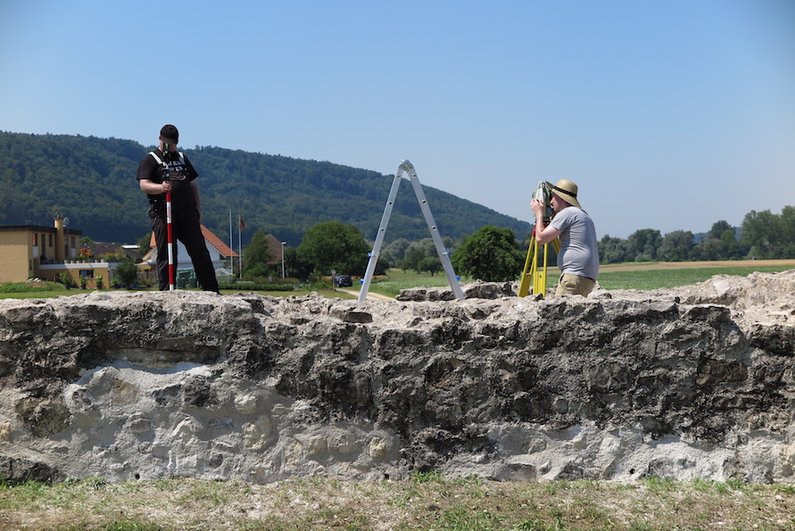
In anticipation of the 2017 restoration, the area was cleared, the masonry cleaned, and extensively documented. Photogrammetric methods combined with drawings and 3D modeling were used. Surprisingly, the masonry shells were found to be in good condition, although all joints had been filled with cement, and remnants of the ancient lime mortar plaster still survived on the inner shell of the north wall.
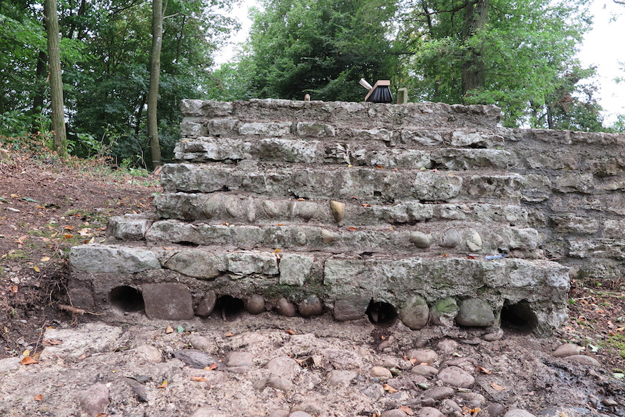
Unlike most other watchtowers on the High Rhine, the entrance here is not on the Rhine side, but on the land side, i.e. to the east. Cleaning of the OC of the foundation formerly lying under the (antique plundered) door sills showed that this had been left in its original condition during restoration. The outer (eastern) shell of the foundation consists of limestone rubble, the inner (western) of large pebble wackes, the core of excellently preserved opus caementitium interspersed with pebble wackes. Well preserved are also the negatives of the logs built in the transition zone between the foundation and the rising.
The Upper Bürkli stands on the edge of a terrain level which today is about 400 m away from the Rhine and which corresponds to the southern bank of an old arm which was probably already largely silted up in late antiquity. The site offers a good view of the upstream alluvial zone of the Rhine and of the opposite (German) bank of the Rhine with the estuary of the Alb.
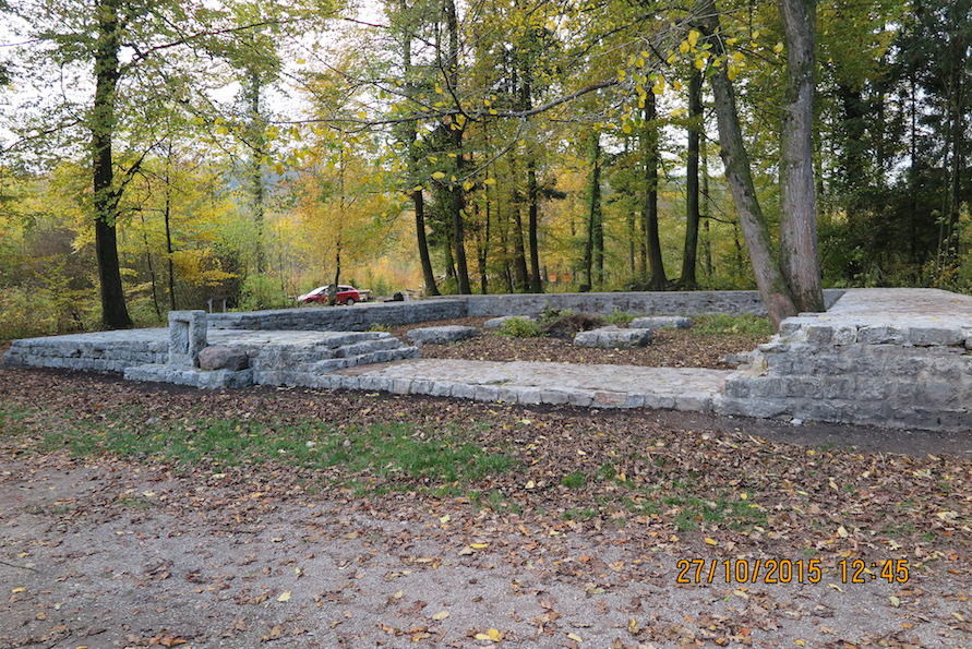
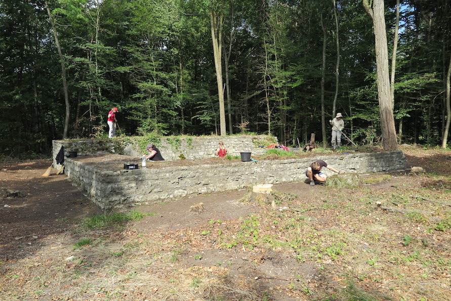
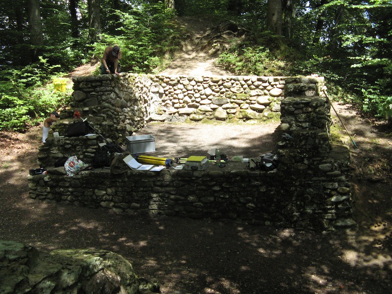
The Obere Bürgli was first described in 1871 by Ferdinand Keller (1800-1891): "Below the village of Schwaderloh, on the old Rhine bank, about 10' above the level of the river, is a wall stock overgrown with shrubbery, called Bürgli. Thenorth and east sides of it are at right angles to each other, on the south and west sides the wall mass is now rounded off." A first excavation took place in 1913 under the direction of Karl Stehlin (1859-1934). He limited himself to the selective uncovering of the tops of the walls in order to determine the ground plan and the dimensions of the watchtower and made two exploratory cuts in the surrounding area. At the suggestion of the Fricktalisch-Badische Vereinigung für Heimatkunde, the watchtower was completely exposed by KA AG in 1977 and subsequently comprehensively conserved.
The work carried out in 2015 included the removal of the overgrowth, the removal of the modern marl coating inside the watchtower, the cleaning of the masonry, the documentation of the ancient building fabric and the older conservation measures, and the restoration of the conserved masonry. Photogrammetrically rectified masonry views and elevations, aerial photographs by quadrocopter, and 3D models generated from photographs were used for the documentation.
After cleaning the masonry, it became apparent that the transition zone between the antique and the 1977 bricked-up part of the masonry shells as well as the masonry crown had suffered greatly from the effects of the weather. The smaller and larger damaged areas on the wall shells, however, also allowed insights into the excellently preserved ancient cast masonry and the taking of mortar samples, among other things also with regard to the calibration of 14C-dated mortar samples. It is noteworthy that a distinct horizontal joint was observed in the opus caementitium of the southern wall. This indicates that the rising masonry was obviously not raised in one operation, but allowed some time to elapse so that the white lime mortar could harden.
Information board 1: Schwaderloch, Oberes Bürkli[PDF (254 KB)]
Information board 2: Schwaderloch, Oberes Bürkli [PDF (4.4 MB)]
Press review
- News on the history of the High Rhine: The Message, April 20, 2015[PDF (8.0 MB)]
- Roman tower attracts interest: The Message, April 20, 2015[PDF (13.2 MB)]
Publications
Info board: The Roman watchtower of Möhlin-Untere Wehren[PDF (3.0 MB)]
Factsheet on the late antique watchtower Möhlin, Untere Wehren[PDF (436 KB)]
Information board: The Roman watchtower of Möhlin-Fahrgraben [PDF (2.7 MB)
Factsheet on the late antique watchtower Möhlin, Fahrgraben[PDF (422 KB)]
Factsheet: The Roman watchtower of Koblenz-Kleiner Laufen[PDF (3.0 MB)]
Factsheet on the late antique watchtower of Koblenz, Kleiner Laufen[PDF (276 KB)]
Factsheet on the 10th century gateway Möhlin, Bürkli[PDF (437 KB)


Press review
- Roman watchtowers get spruced up: The Message, July 5, 2014[PDF (330 KB)]
- Roman watchtower on the Rhine explored: Aargauer Zeitung - Fricktal, July 4, 2014[PDF (266 KB)]
- Twelve witnesses of the Roman era are saved from decay: Aargauer Zeitung, July 4, 2014[PDF (351 KB)]
- Protection against marauding Alemanni: BaZ, July 4, 2014[PDF (173 KB)]
- Canton Aargau restores its Roman watchtowers: SRF report, July 3, 2014.
- Press text for the media orientation on July 3, 2014 in Koblenz and Möhlin: "All along the watchtowers" - Roman watchtowers on the Rhine in the Canton of Aargau[PDF (147 KB)]
- The legacy of an emperor. Remains of a Roman watchtower uncovered Neue Fricktaler Zeitung, June 6, 2014[PDF (4.4 MB)]
- Koblenz, Uni Basel investigates Roman watchtower: Die Botschaft, June 2014[PDF (249 KB)]
In cooperation with the Cantonal Archaeology of Aargau and the Cantonal Archaeology of Baselland, respectively, the Vindonissa Professorship has been working since autumn 2012 on the "mise en valeur" of the late Roman watchtowers and fortifications on the High Rhine.
Already completed is the work on the Late Roman watchtower Muttenz-Au Hard (BL)[PDF (444 KB)]; the new information board was erected in the 1st quarter of 2014: Information board[PDF (957 KB)].
Ongoing work includes archival research to clean up and complete the dossiers on the individual enclosures, as well as drafting short texts for information panels for the late Roman enclosures (e.g. Rümikon-Sandgraben, Leuggern-im Sand, Schwaderloch-oberes Bürgli, Schwaderloch-unteres Bürgli, Sulz-Rheinsulz, Wallbach-Stelli, Rheinfelden-Pferrichgraben).
In 2014, geophysical prospections will also be carried out in the area of the watchtowers in Fisibach-Bleiche and Full-Reuenthal-Jüppe, as the exact locations of the installations investigated in the earlier 20th century are no longer known. In June and July 2014, the Cantonal Archaeology of Aargau and the Vindonissa Professorship will also carry out construction investigations and smaller soundings in the area of the Late Roman watchtowers at Koblenz-Kleiner Laufen", Möhlin-Untere Wehren and Möhlin-Fahrgraben as well as in the Late Roman and early medieval site Möhlin-Riburg-Bürkli in advance of the planned restoration and conservation work.
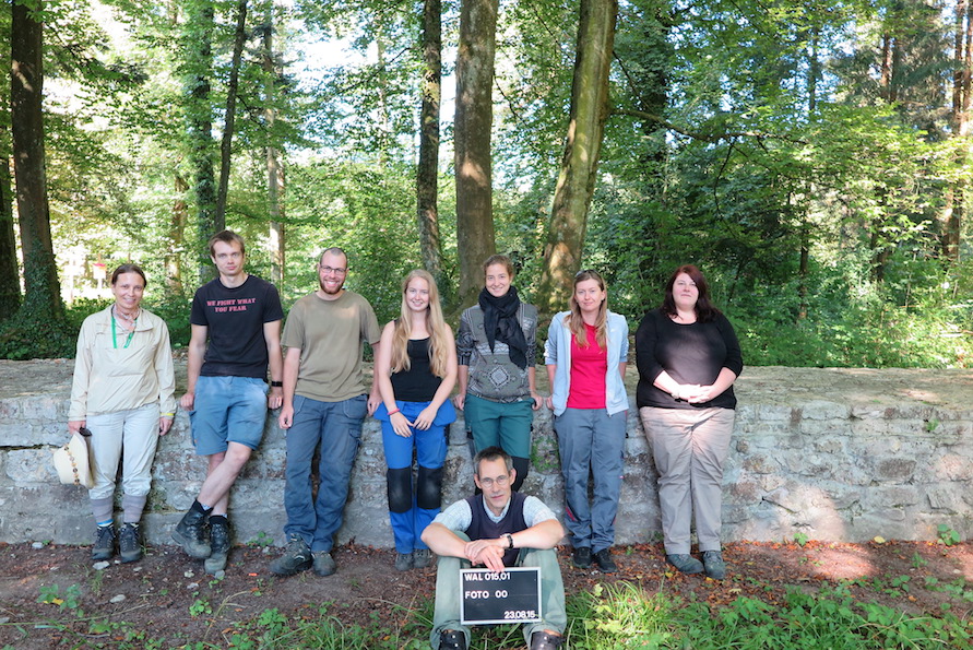
Participating in the project are lic. phil. I Hannes Flück and the following students are involved (as of Dec. 2013): Andreas Callierotti, Lukas Freitag, Miriam Hauser, Marta Imbach, Corinne Juon, Tina Lander, Sarah Lo Russo, Erik Martin, Daniel Reber, Johann Savary, and Stephanie Strobl.
Literature:
W. Drack, Die spätrömische Grenzwehr am Hochrhein. Archäologische Führer der Schweiz 13 (2nd revised edition Basel 1993); F. Mayer, Sichere Plätze - Sichtbare Objekte. Archäologie Schweiz 29, 2006, 61-71.